|
East Indian Creek
Keigley Branch
Lizard Creek
Onion Creek Some of these streams, when navigable, may require good boat control and an understanding of river hydraulics. At low levels they may test your perseverence and dedication, and the resiliency of your boat. At higher levels they may become increasingly dangerous with fast water and frequent sharp turns, logjams, strainers, and low-hanging branches. Paddlers should consider their skill level against the condition and hazards of each stream. And always respect private property. Briggs Woods Some have run this small creek which receives the overflow from Briggs Woods lake. This stream drops about 30 ft in less than a 1/4 mile but is rarely navigable. It has drops of 3-4 feet and is mentioned here only for experienced paddlers.
East Indian Creek I accompanied Mark on his second run of East Indian Creek near Colo. At 340 cfs (Mingo gauge) the water level was ideal, but we had to hurry along to complete the trip before dark and an approaching storm. For the first few miles the creek wanders through pasture and woodland with scattered glacial boulders, numerous small riffles & drops, and often a complete tree canopy. Below an old concrete arched bridge at 260th Street the the stream enters more open pasture. We were led much of the way by a Great Blue Heron, encountered several nesting pairs of Canadian Geese, and saw one gosling. We encountered only one small logjam and two fence crossings, but you could expect to find many more. bThe drive home featured a spectacular lightning show as the storm passed through Story County. Esat Indian Creek, E41 to S27 - 2 1/2 hrs @ 340 cfs (at the Mingo gauge).
Keigley Branch This section starts out pretty thick, as you might guess looking from 160th. I portaged snags 3 or 4 times, but twisted through, over, under, and around a dozen more. There's a 2 ft bouldered drop just 5 minutes below the bridge, and a pretty good gradient for a short while after. Nice trip, about 50 minutes, but only for the determined! I hear the section just east of US 69 might be worth checking out.
Lizard Creek I first heard of the Lizard from "micro-paddler" Mark, but accompanied Nate on the South Branch one Friday evening along with Greg B. & John. We put in at Co D22 and took out on the Des Moines River at Phinney Park. The South Branch joins the main channel between the Hwy 7 & US 169 bridges, just above a long rock garden & about 2 miles before emptying into the Des Moines. Finishing early, we shuttled back up the South Branch & launched at the next bridge above D22, a gravel road near where D22 again crosses the creek and turns to gravel. Both streams were high and fast, and large standing waves hid boulders that would make them, particularly the lower stretches, even more interesting. Both are rock-strewn & have pretty steep gradients for Iowa. Other than the limestone quarry just below the confluence, we found the south to be very remote, passing through woodlands & past remnant hill prairies & oak savanna. We ate a great, late supper at Amigo's, just across the river from our take-out. P41 to the Des Moines, 9/2/02 On Labor Day, hoping flows were still sufficiently high to run the main channel, Monty, Greg, Lynn, Dave, Colin, Travis and I put in at Co P41, about 3 1/2 miles above the confluence. We found the stream to be rock-strewn both above and below this bridge, and with a fair rate of fall. With a little bit of playing & a short stop, this section took just short of 3 hours. The gauging station at this bridge can be found online at the Army Corp of Engineers website, #FLZ14. The gauge read 5ft on Labor day and was near 7ft August 23rd. Optimum flow will be somewhere between these levels, with the lower section dependant on flows from the South Branch. Ben Petty has book-marked this aerial photo of the area.
To reach the take-out on Phinney Park Drive, take 3rd Ave NW (at Hwy 7) east from US 169.
Onion Creek We paddled Onion Creek from County Line Road (R38) to the mouth, and took out below the dam at Veenker Golf Course. The first section (to North Dakota Ave) took just short of two hours, the second short of an hour. A very nice, local creek through a small wooded valley. See Unifying and promoting Iowa's waterways, a Tribune Editorial
Prairie Creek I ran Prairie Creek with John and Monty. What a trip! Easily the greatest rate of fall that I've seen in Iowa. If you're not familiar with Dolliver, imagine running a creek from the top of Ledges S.P. to the river. The shuttle is four miles, the run is likely several more as it winds around quite a bit. We put in back of the Otho Cemetery opposite a small bluff. The cemetery is near the first bridge outside Dolliver State Park. There were limestone/sandstone bluffs/outcroppings nearly the whole distance, some as high as 30 or 40 ft, and in one area, tall banks of black shale. The stream bed is sand, gravel, glacial boulders & an occasional limestone shelf. On the downside, you may want to wear long sleeves and a helmet just to protect yourself from low-hanging branches, strainers, & close-up looks at Multiflora Rose & other brambles. We probably did a half dozen short carries. The water was about 5" high across the ford at Dolliver. I probably wouldn't try it any lower. But be aware that as it comes up, and the current increases, some of those overhanging branches, snags & jams could become serious hazards. One other bit of advise; start before 7pm. We made the run in 2 hrs 20 minutes, and this is not a stream you want to paddle in the dark! The Otho Pub: "Good eats", I'm told, "Try the hash browns". (We ran Prairie again on May 10th, 2003. At that time the stream filled the ford at Dolliver, but had dropped some 30 inches. It was a much cleaner run at this level, and all the logjams had blown clear! Others have been fortunate enough to run Prairie this Spring. See Up a creek with a paddle by Bob Modersohn, 5/13/2003)
Squaw Creek Eric and I paddled Squaw Creek from 120th St (1 mile North of E18/Mackey) to 160th St in two hours at about 600-700 cfs (at the Ames Gauge). An ideal level would be lower, maybe closer to the 450 cfs which Greg & I paddled in March. The most interesting area (and greatest fall) is between Mackey & 140th, with the next mile coming in a close second. Below 160th you may encounter some snags. At this level all of the rocks were covered, but there's plenty of fast water, lots of turns, & a few good riffles. We did not encounter any fences, but you should watch for them later in the year. You can avoid parking on E18 if you put in just North of the Mackey Church where a creek crosses V Avenue before emptying into the Squaw. All of the other bridges provide some access, though not good. Squaw Creek, 120th St to 160th - 2 hrs @ ~ 650 cfs.
Whitewater Creek Very nice section & worth the drive. The canyon section took Monty & I only about 90 minutes. I'm told the Little Maquoketa is very similar looking, so next time we'll combine these trips. We didn't see WW Creek at it's best though; check these photos of recent flooding. |
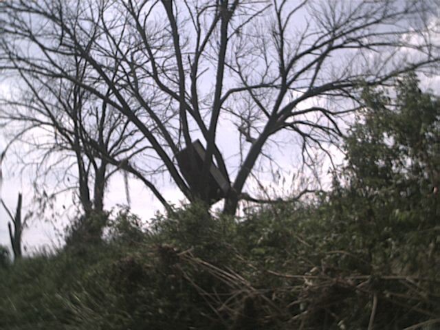 refrigerator in tree near put-in |
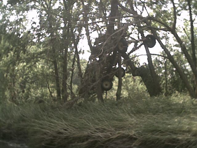 farm wagon in tree |
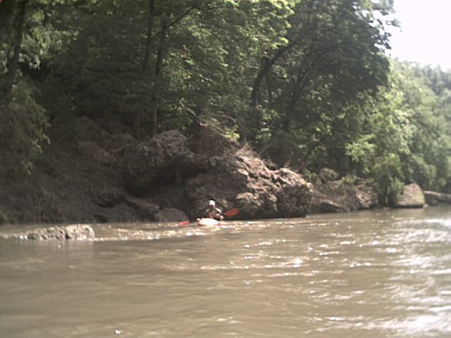 limestone typical of stream banks |
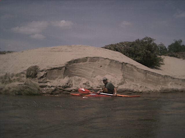 Monty by high sand bank |
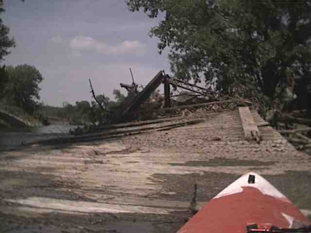 washed out bridge |