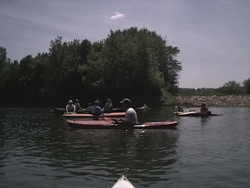
We rendezvoused at Sleepy Hollow, our takeout, a large gravel parking lot with good access to the river. It was a diverse group of ten, all had come to enjoy the sunny late spring day. Due to low streamflow we decided to begin our trip 8 1/2 miles upstream at Anderson Canoe Access, rather than 12 miles at E18 as was done last year.
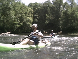
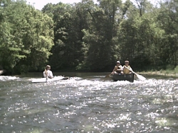
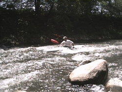
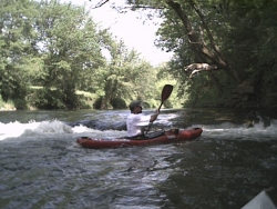
Once in our boats and off from Anderson, we soon encountered the first of two log jams. We portaged river right through tall grass and understory. Most chose to re-enter quickly on a steep bank, one or two boats at a time. I wished I had brought a piece of rope as I lowered my boat onto some logs. The second log jam afforded just enough space to float by on the right, one advantage to these low water conditions.
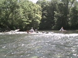
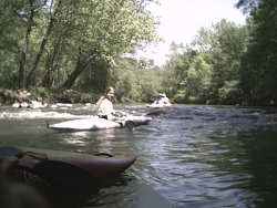
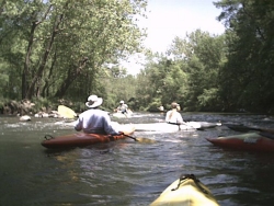
The lack of recent rains meant that the sand and gravel bottom was clearly visible. Just prior to our lunch stop at Sopers Mill the river begins a series of small delightful Class I drops. It then becomes wider with numerous gravel shoals and sand bars.
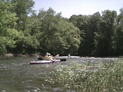
We passed several campers and fishermen as we entered McFarland Park, and soon arrived at Peterson Park. Here the river joins an old quarry lake where a dike washed out in the ‘96 flood. We rested here, and some kayakers practiced their rolling technique in the clear, deep water.
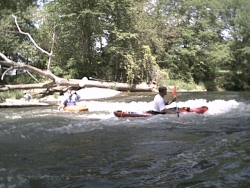
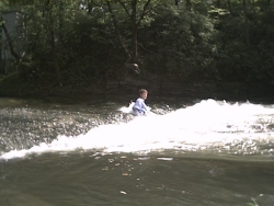
Exiting the lake we soon encountered lofty wooded banks, signaling our approach to the dam and our take-out. The dam is at the end of a long limestone bank, and is the location of the USGS real-time water level gauge. The concrete structure has a gently sloping incline that gives it a natural appearance and minimal back roller. It can be run (at this level) or easily portaged on river right. I forgot my hat at the dam, but retrieved it after hiking back along a wooded trail from Sleepy Hollow.
Mark your calendar for next year because we do this trip every spring.
Note: The USGS gauge read 150 cfs, and there was concern that this might be too low. We were pleasantly surprised to experience very few scrapes, and the current moved along at a nice pace. Minimum flows are likely below 100 cfs.
Also - the E18 bridge reconstruction is completed and the canoe access reopened. The parking lot was enlarged and re-graveled. Access to the river is down a bank of rip-rap.
More information on the Skunk River Canoe Trail can be found on the Skunk River Paddlers Website @ http://skunkriverpaddlers/tripod.com/
Mark Metelman