SRP


Skunk River, 12/1/2001

(point your mouse to each photo for info)

Loads of broken concrete and dirt pushed into river at 4380 Grand 4380 Grand
4380 Grand - Are permits required? And can dirt be dumped into the river? Creek near Inis Grove Park. Another outlet downstream, with much greater erosion, was not visible from the river.
Bridge at Carr Pool Large creek outflow in area of old sanitary landfill (this is likely the waterway which crosses Dayton just south of 13th)
UP bridge, City stockpile (asphalt millings?) in background - the area between the UP RR bridge and Lincoln Way is the most industrialized section. Not pretty. Outlet with rusty-colored effluent/orange slime near stockpile in previous photo. This area (Carnegie Ave) was once the town dump.
Pond near Sondrol Drive - note deep blue-green color (lime from concrete?) concrete - Fortified dike between pond and river
Outlet at 1109 East Lincoln Way - alot of trash and debris along bank just upstream Typical cut bank between Lincoln Way and S. 16th, both sides of river. Crops planted to the river's edge
Gravel bars below L. Way are littered with small pieces of broken concrete, glass, etc; Good stands of willow

UTM Coordinates recorded:
0448661 4657333 Sleepy Hollow Canoe Access
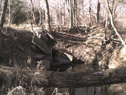
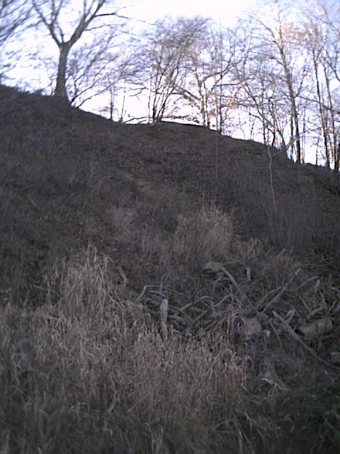
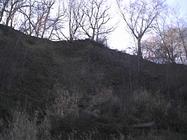
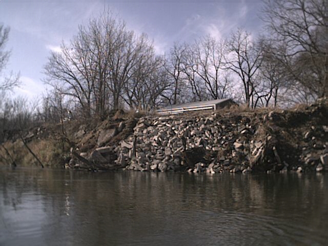
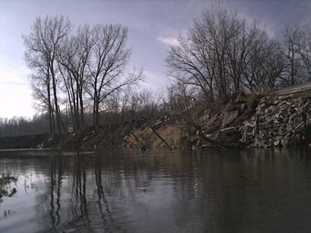
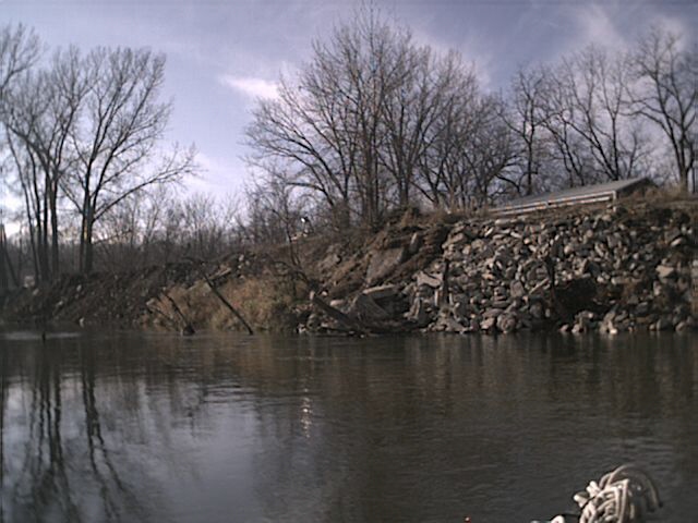
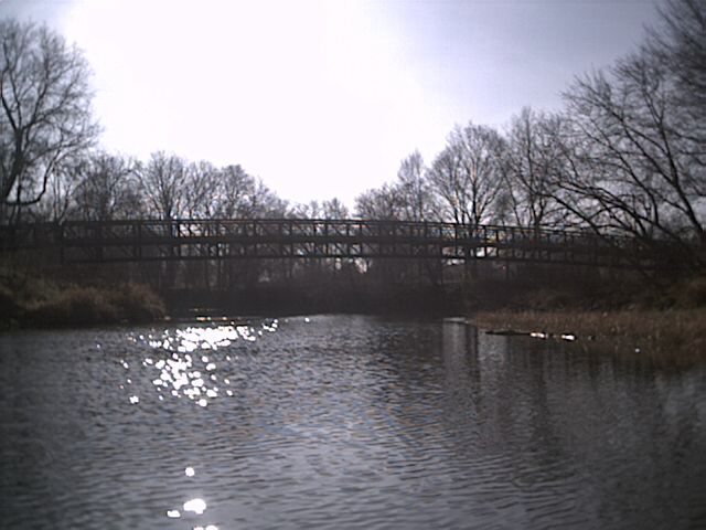
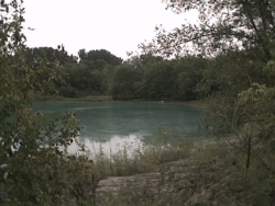
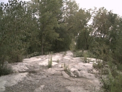
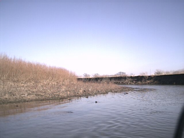
0448664 4657006 dirt and riprap dumped in river (photos 1-3)
0448881 4656446 4" plastic tile, river left (ISU property)
04490216 4656187 A.M.E.S. 69kv loop
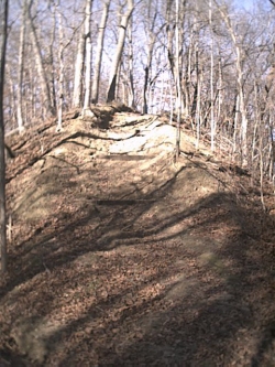
0449092 4656038 deeply cut creek (near 3500 Grand)
0449077 4655875 leaves dumped in river
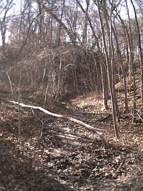
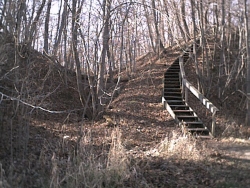
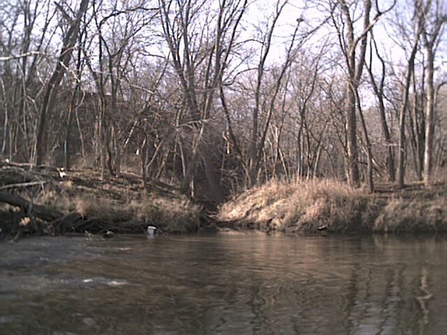
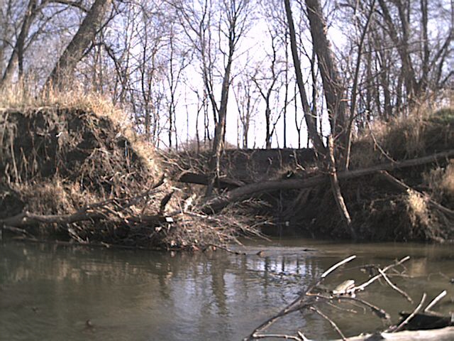
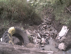
0449137 4655784 deeply cut creek near Inis Grove Park(photo 4)
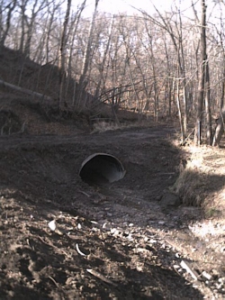
0449380 4655593 30" steel culvert just north of 13th St, river left
0450826 4653810 (?)
0450961 4653152 (???) - we'll take better notes next time
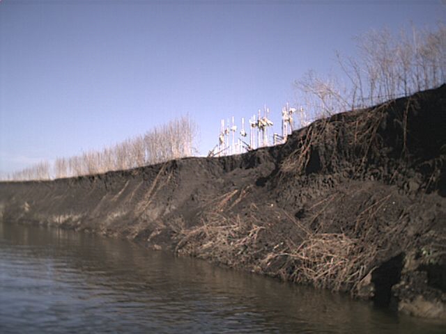
0450968 4653134 deeply cut creek near landfill, river left (photo 6)
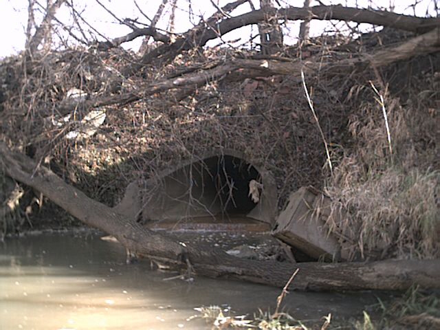
0450936 4652811 ~36" concrete outlet - rusty water (photo 8)
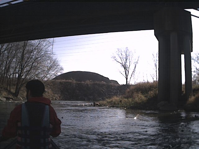
0450651 4652465 Lincoln Way bridge
0450810 4651938 field row-cropped to river's edge (photos 12-13)
0450646 4651185 confluence with Squaw Creek
0450673 4650865 South 16th bridge

Stormwater outlet just north of Carr Pool
Ravine drains Homewood clubhouse area New trail(?) to Hole 6
Need buffer strip (native grass/shrubs) at top of hill, Homewood and parts of Inis Grove Typical eroding bank at Homewood and Inis Grove Stairs to Inis Grove Park
This culvert near Inis Grove had completely washed out
more of 4380
back to Squaw Creek mapping