|
UTM Coordinates recorded 1/13/02 near Brookside Park:
447061, 4654132
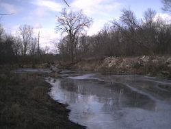
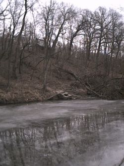
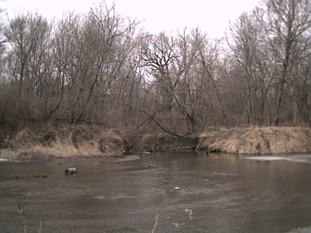
A creek enters from the east (north) bank. This is the creek that
flows through the Pohl (Ames High) Prairie, and can be accessed from the
High School bike path. (photo7) (photo8)
447445, 4653799 13th Street bridge
447438, 4653769
A 60" concrete pipe on the west bank just south of 13th Street.
This is the outlet from the new Hawthorne Court complex (and should have been a
constructed retention/wetland area). (photo6)
447726, 4653687
Eroding bank, west (south) side, ~ 12 ft high. Just upstream and
near the bike path outlet to 13th Street is an eroding bank on the east (north) side.
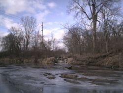
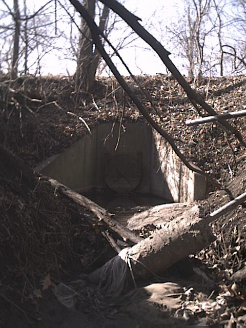
447844, 4653677
A 36" concrete pipe on east bank (photo). This is just south of the
new pedestrian bridge and near the sewer lift at Orchard Drive. (photo5)
447905, 4653500
A ~10" steel pipe on east bank below a ravine. (photo4)
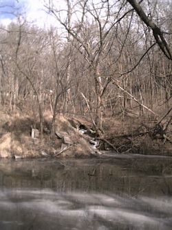
447935, 4653459
Eroding hillside, east bank (photo3).
447931, 4653346
A ~12" steel pipe on east bank.
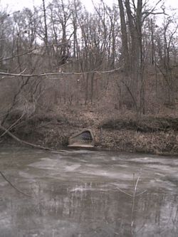
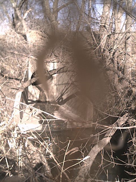
447942, 4653287
A ~36" concrete pipe on the east bank (photo1). Approximately 30 yards south is a large cement box (photo2).
447985, 4653040 Sixth Street Bridge - Approximately 75 yards north of the bridge is a ~10" steel pipe, east bank.
UTM Coordinates recorded 2/13/02:
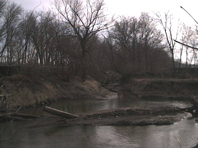
0447762 4652723 mouth of College Creek (another creek joins just above the
mouth, this flows from the box culvert under 6th St just east of Elwood). (photo)
0447632 4652773 new bike path bridge over College Creek
0447786 4652519 Lincoln Way bridge, site of USGS Gauge Station. A 24" steel
stormwater outlet enters just above bridge on the east bank.
A low head dam is just downstream. (photo)
UTM Coordinates recorded 2/23/02:
0447741 4652353 deeply cut creek east of Hilton Colosium, west bank (photo).
This is the outlet from a ~24" culvert (photo) near the bike path,
apparently from the Iowa State Center parking lots.
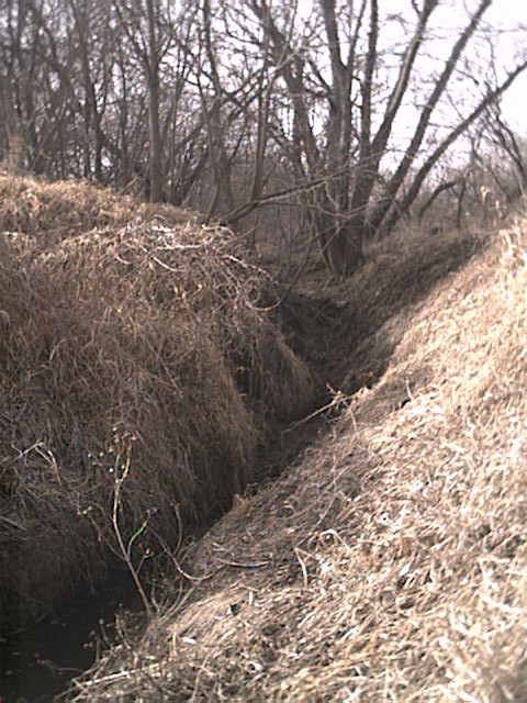
0447759 4652120 second deeply cut creek/outlet, west bank.
Photo from bike path bridge.
0447749 4652119 bike path bridge, Stuart Smith Park to South Riverside.
0447774 4651999 third cut, west bank (photo)
0447918 4651976 South 4th Street bridge
0447950 4651956 ~30" concrete stormwater outlet just below bridge, east bank
(photo)
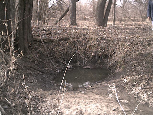
0448388 4651712 small grassy cut, river-left (photo). Followed cut to scour hole,
~18" steel outlet at 0448336 4651696 (photo)
The wooded area (Squaw Creek Park, behind the DOT) just upstream from this bike path was apparently a dump site at some time, and many excavation holes are visible from the path. Someone has been mining for antique glass, porclain, etc.
0448493 4651721 bike path bridge and mouth of Worle Creek
back more GPS
|