|
(We have volunteered to record the UTM coordinates of field tile, storm water outlets, and other points of interest for the Squaw Creek Watershed Council)
UTM Coordinates recorded Saturday 1-19-02, Boone County:
435993 4671782 110th at U Ave, concrete arch bridge (photo)
436298 4671557 field tile from accross 110th likely enters here in
wooded draw, r-l; beaver dam, fence
436422 4671304 large creek, r-r; fence
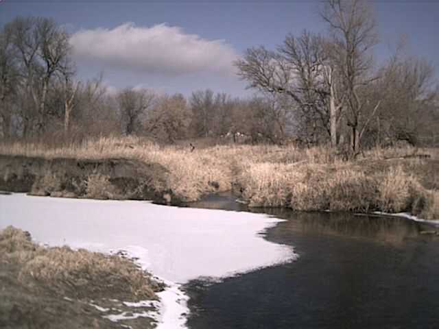
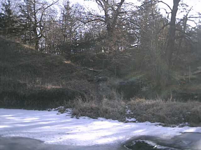
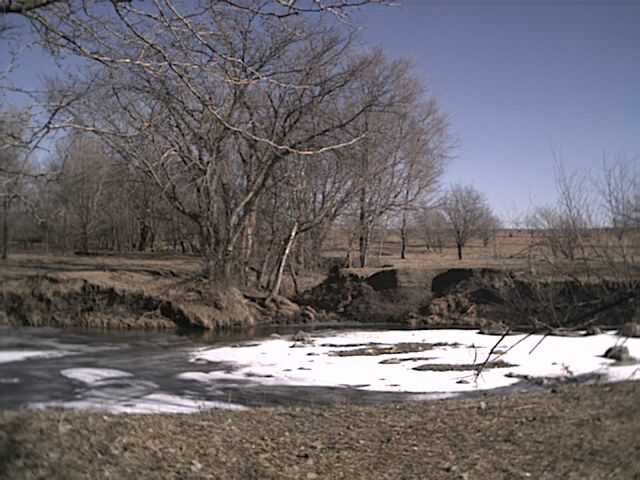
436631 4671171 well vegetated creek, r-l (photo9a); grass strip in field, r-r
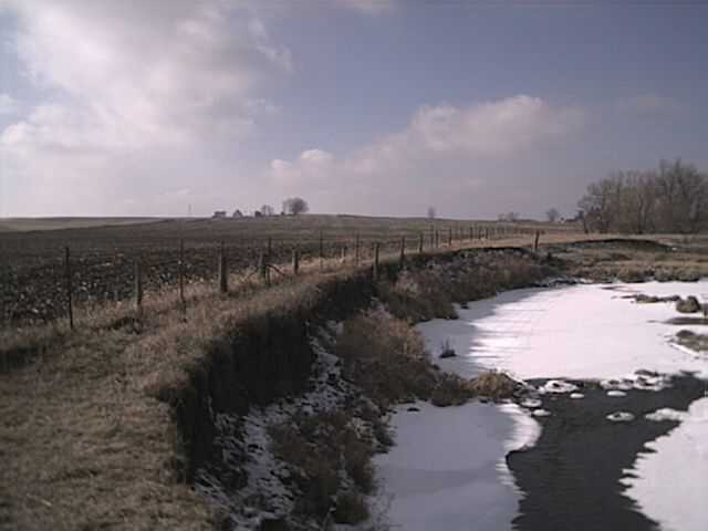
436887 4671059 eroding fenceline, r-r (photo8a); small rock dam
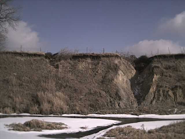
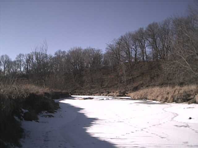
437155 4671034 high eroding bank, r-l (photo7a)(photo6a)
437071 4670447 high eroding bank, r-r (photo4a)
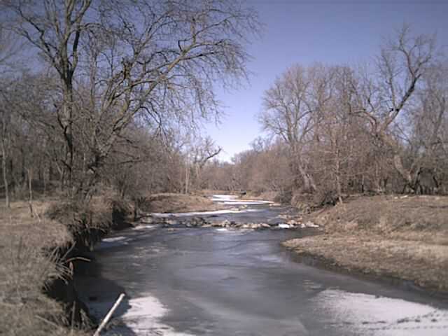
437258 4670360 large flowing creek, r-l
437425 4670131 concrete arch bridge, 120th at V Ave; fence;
large creek, r-r below bridge; drainage, r-l
437499 4670056 pasture drainage, r-l
437448 4669958 10" steel drain (running), r-r; box culvert under V Ave
437729 4669573 gulley/ravine, r-l, drains pasture & field
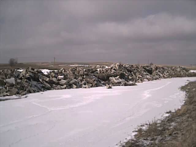
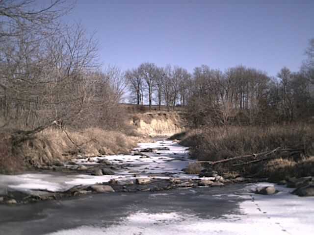
437594 4669071 rip-rap, broken concrete, r-r, visible from V Ave (photo2a); fence
437527 4668882 creek, r-r from box culvert accross V Ave
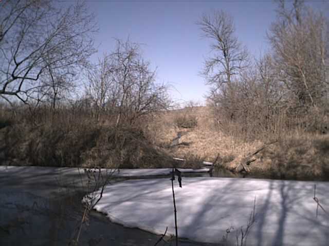
437704 4668606 beaver dam
437795 4668539 130th (E18) bridge, deep gully in NE ditch
UTM Coordinates recorded Monday, 1/21/02, beginning at 130th St, Boone County:
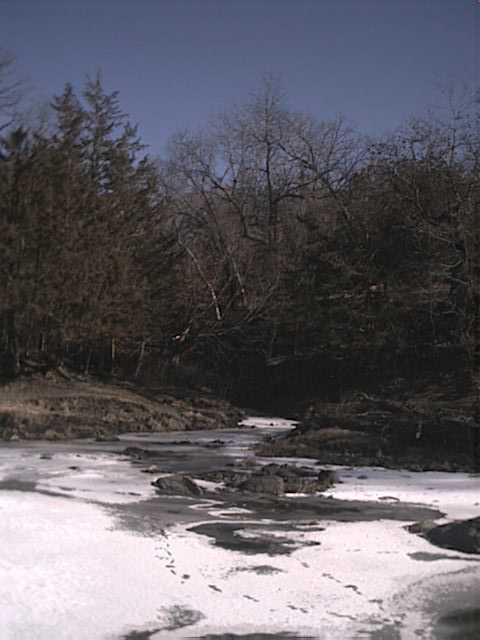
438080 4668163 gulley/ravine, r-l (photo5)
438017 4661110 (Oriole nest, Red-bellied Woodpeckers)
437955 4667986 creek, r-r; photo(6)of beaver dam
437953 4667789 ~35' eroding bank, r-r; photo(7) of glacial boulders
438164 4667970 high bank, r-l (photo8)
438262 4667663 creek, r-r, pasture; fence
438483 4667657 creek, r-l, wooded area; photo9 of bluff, r-l, just south
438641 4667635 creek (photo11) and well-trodden wooded ravine
438509 4667333 transition from woodland to open pasture; fence
438755 4667222 large (8') erratic, r-l; high bank to north r-l;
stand of Walnut, r-r, all visible from 130th
438666 4666941 130th St at W Ave, iron bridge, fence, cut creek SE
438674 4666746 creek, r-r from pasture across W Ave; fence
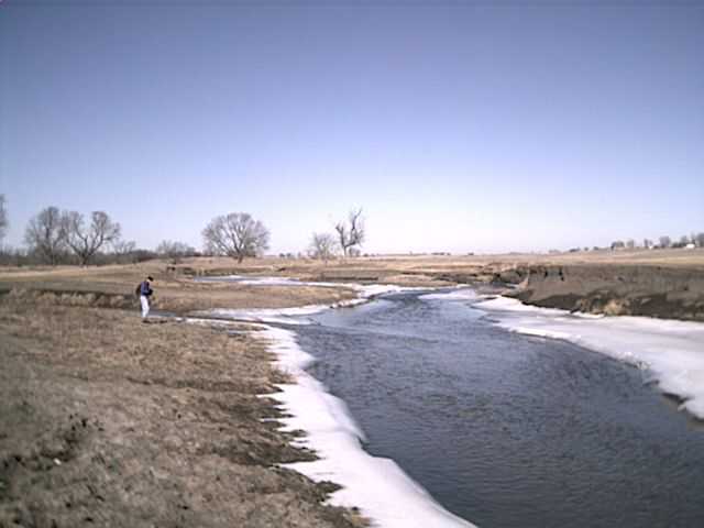
439019 4666548 creek, cattle crossing, r-l (photo13)
439525 4665714 quarry, r-r; rock dam (photo14)
439761 4665308 150th St, concrete/steel bridge; fence
439972 4665142 quarry, r-r; fence; photo15 looking NE at field drainage
440212 4664892 riprap, broken concrete, r-r, ~100+ ft
440246 4664559 on Prairie/Montgomery Creek, south bank, 6" steel pipe
440343 4664533 confluence with Prairie/Montgomery (photo16); fence;
a dike begins here on the south bank and continues to bend at
440767 4664582 flowing vegetated creek, r-l (photo17)
440789 4664489 beaver lodge in west bank,
dike meets river here again & trails off going south
440940 4664109 creek, r-l; 3-ridge mussel shell found on sandbar
440887 4663688 160th St, concrete/steel bridge; beaver dam, fence
*Sited a Bald Eagle, Kestrel, and several hawks today.
Due to warm temperatures and unsafe ice, UTM Coordinates may be approximate, having been measured from across the stream. References "r-l" (river-left) and "r-r" (river-right) are as you travel downstream ("r-l" would generally refer to east or north; "r-r" would refer to west or south). Notations of bridges, fences, and dams are for our personal interest (we're paddlers after all).
Land use varies from timbered and open pasture to brushy unused buffer. Only occasionally does a cultivated field reach the stream (photo8a). The dike above 130th appears to be sand and silt pushed up to the field edge, sometimes quite high. The dike is poorly vegetated though & likely would not hold back floodwaters.
more Squaw Creek mapping
|